If the Haenyeo Museum is the indoor exhibition, this trail is the outdoor one: a 4.4 km loop from the museum that follows the very paths the divers of Hado-ri walked out to the sea and back to their fields. It carries the name of the whistling breath a haenyeo releases when she surfaces, and it is not a long walk, but bulteok hearths, a shore shrine, a fortress, and springs line it, so a diver's whole day comes into view along the way.
The trail is a 4.4 km loop that leaves the Haenyeo Museum in Hado-ri, Gujwa-eup, passes through the stone-walled field lanes and the Byeolbangjin fortress, and returns along the shore. Walked without stopping it takes about 90 minutes; taken slowly, with the sights, about 3 hours. It follows the paths the divers walked between muljil and their field work, and bulteok hearths, a haesindang shrine, gaetdam fish weirs, traces of the old coastal defense wall, and freshwater springs all sit on the route. The trail was opened when the museum was established, in connection with the haenyeo festival, and part of it overlaps Olle Route 21.
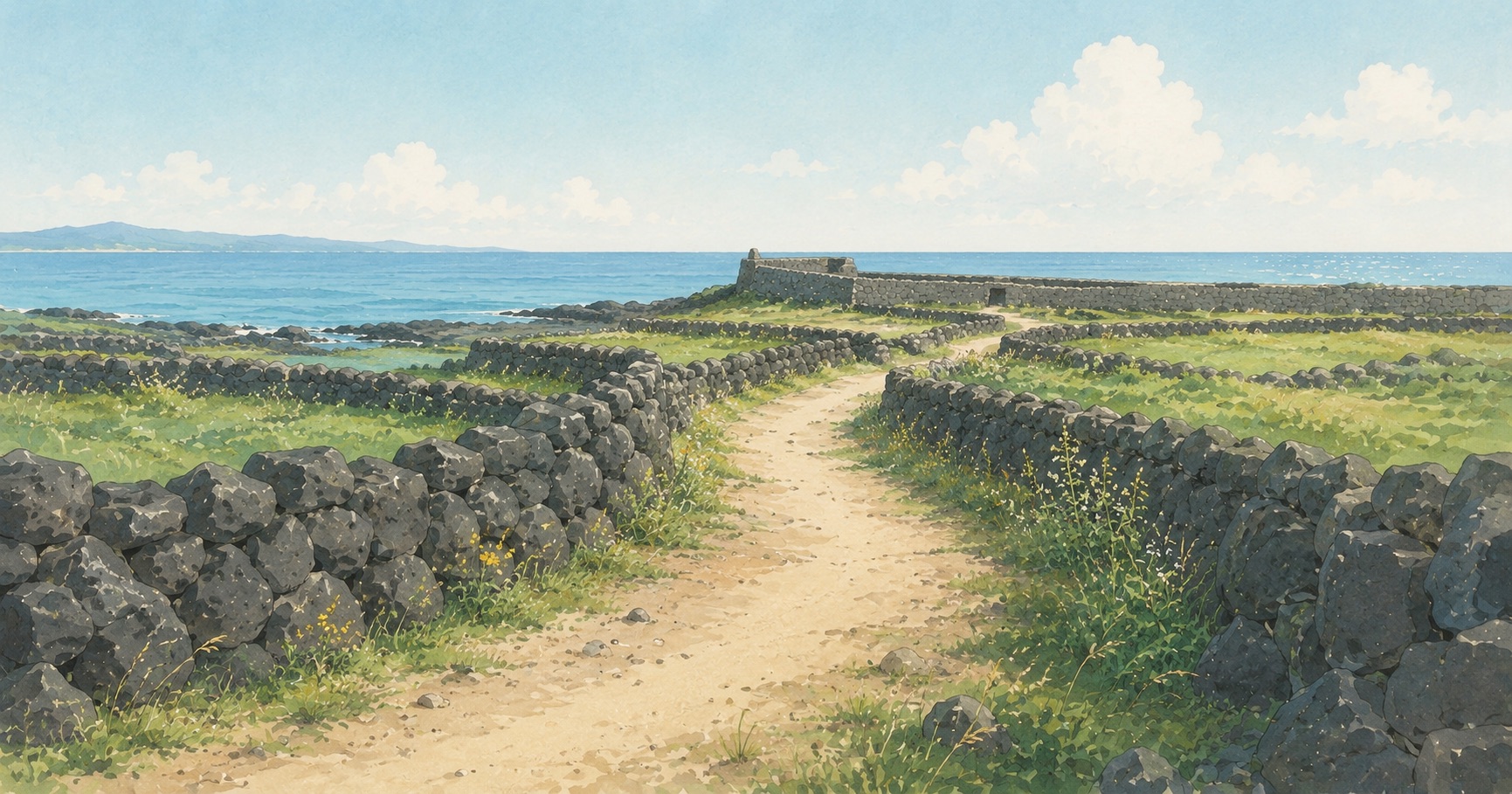
Hado-ri is among the villages with the most working haenyeo, and its batdam, the black stone walls around the fields, run unusually thick. The village takes the northeast wind head on, so walls were stacked layer on layer to shelter the crops. Along the lanes between those walls the divers walked out to the sea for muljil and walked back to their fields, and when the museum was established, it took the name of the divers' surfacing breath, marked the loop, and opened it as a walking course.
The path has two faces. The inland half runs between the black field walls; the outer half follows the shore, past the bulteok hearths and the shrine. The Byeolbangjin fortress is where the two halves meet.
| Stretch | What is there | Notes |
|---|---|---|
| Leaving the museum | The haenyeo resistance movement memorial | Seeing the museum first deepens the whole walk |
| The field lanes | Layered basalt walls, the Yeossi-halmang shrine | Windy, with little shade |
| Byeolbangjin | The Joseon-era fortress wrapping Hado-ri, with the village and sea in view from the wall | The wall can be climbed |
| The shore path | Bulteok, the haesindang shrine, gaetdam weirs, traces of the coastal defense wall, springs | During diving hours, haenyeo can be seen far out |
| Back at the museum | A walkable continuation to Sehwa Beach | The five-day market sits on dates ending in 0 and 5 |
What makes the walk special is not the number of relics. The bulteok, the shrine, and the weirs were all things the divers and villagers used, and some are used still. It is not a preserved exhibit but the working path of a working village, which is why the walk keeps crossing paths with people bent over their fields and divers coming up out of the sea.
Signboards along the route give each site's name and use, so the path can be read as it is walked. Joining one of the museum's guided walks adds a guide who tells the stories behind them.
The standard direction leaves the museum through the field lanes, rounds Byeolbangjin, and returns along the shore, and the reverse works just as well. For an afternoon walk, saving the shore for last means finishing with the sea in view; for a chance of seeing divers at work, taking the shore first on a morning tide is the better bet.
Course markers stand along the way, but the forks among the field lanes can confuse. Picking up the route map at the museum is worth the stop.
The Sumbisori Trail takes its name from the sound the divers made coming home along it, and Sumbi takes its name from the very same sound. Four kilometers walked with the phone put away is about as close as life gets to what this app hopes for. Sumbi supports the documentation and preservation of Jeju haenyeo culture.
Hear Sumbi's sumbisori →Hado-ri is windy. The field lanes offer almost no shade and the shore path takes the wind straight on. A hat, a windbreaker, and water belong in the bag, and in summer the walk sits best in the early morning or late afternoon.
The fields along the lanes belong to the villagers, and the waters along the shore belong to the cooperative. The rules follow from that: stay out of the fields, leave the stone walls unstepped and unstacked, gather nothing from the shore, and if divers are working out on the water, watch from far off and walk on.
The museum stands on the boundary of Sehwa-ri and Hado-ri. The Sehwa side holds the beach, the cafes, and the five-day market; the Hado side holds the field walls, the fortress, and the divers. The trail walks the Hado side, and crossing over to Sehwa to rest afterward is the natural order of the day.
Part of the loop overlaps Olle Route 21. Anyone already walking the Olle can turn aside at Hado-ri, take the loop past the bulteok and Byeolbangjin, and rejoin the longer route.
One line the sea taught us. The divers went out by the same path they came home on. Time away from the phone lasts longest the same way, begun not somewhere special but on the road already walked every day.
This article is a cultural introduction based on published sources; figures reflect the survey dates listed in the references.
Scan the QR with your phone to open the install page.
 Sumbi
Sumbi